We offer a variety of UAV photogrammetry services from image acquisition to customized image analysis that harnesses the power of machine learning to generate value for projects.
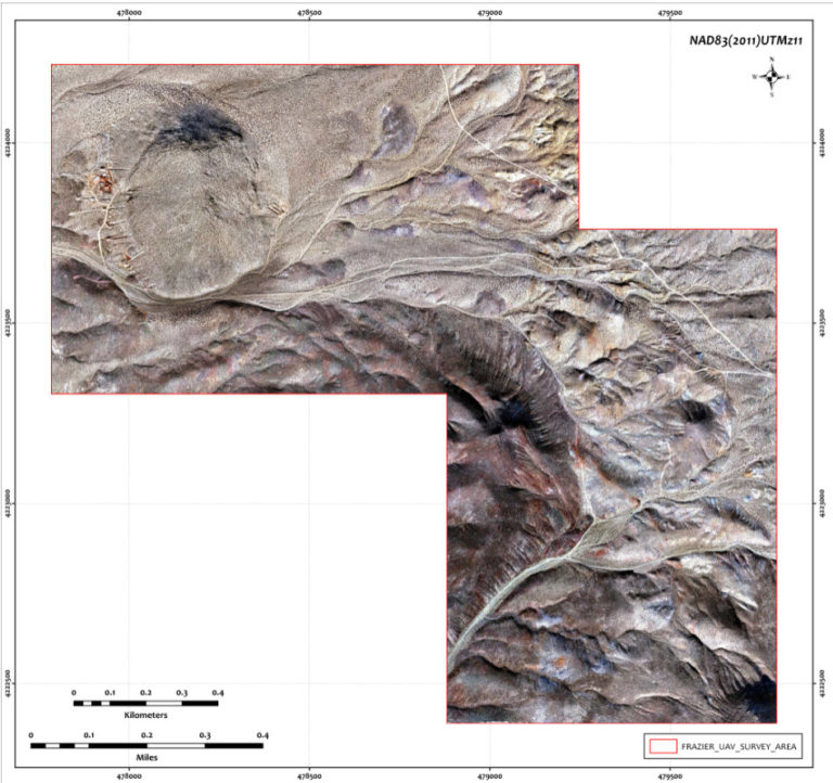
Need high resolution orthophotography over a large area?
Talk to us about our Phase One Industrial manned aircraft photogrammetry solution
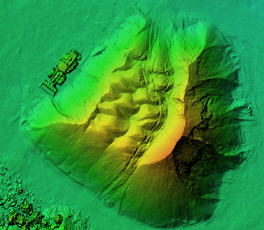
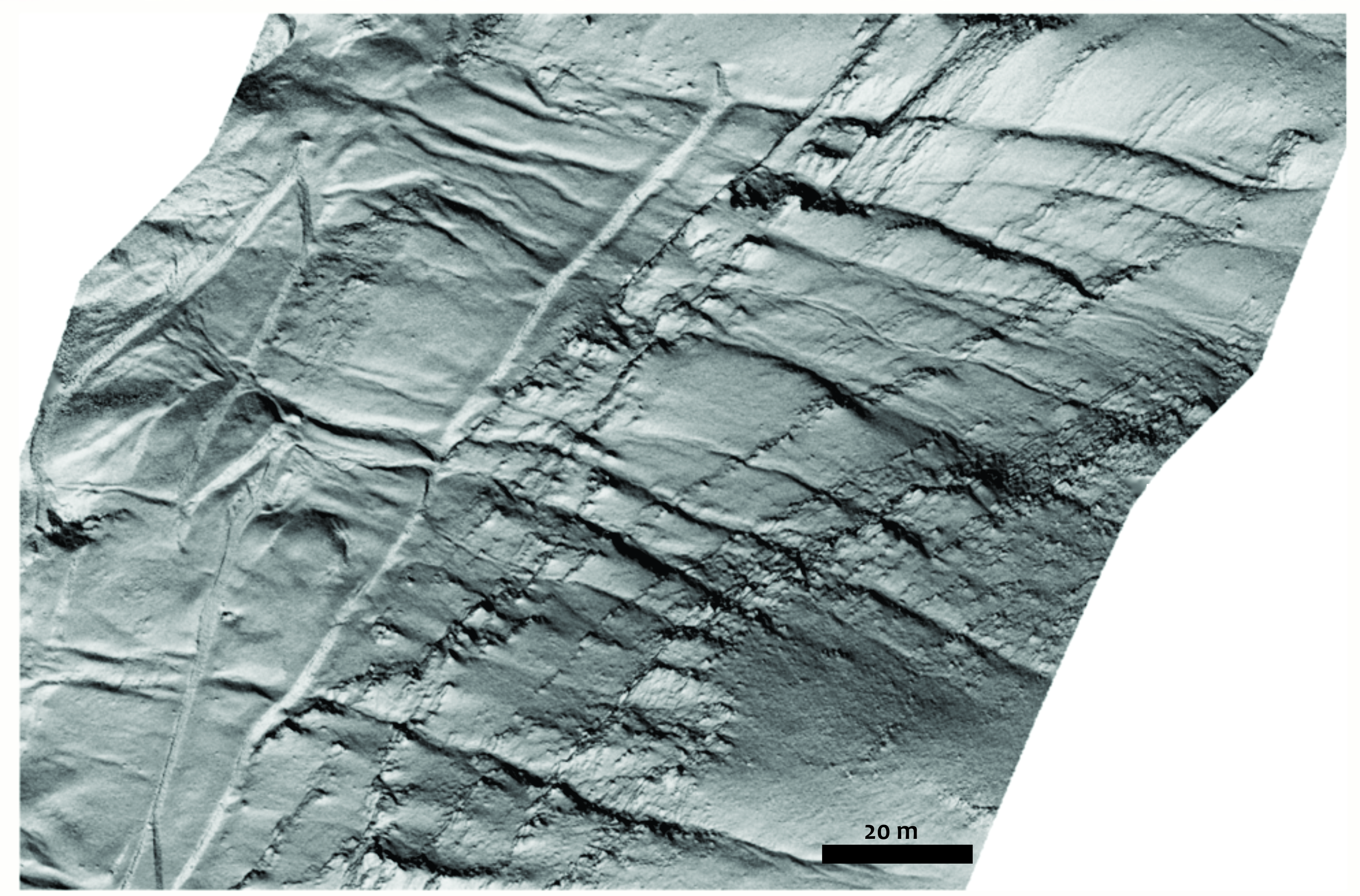
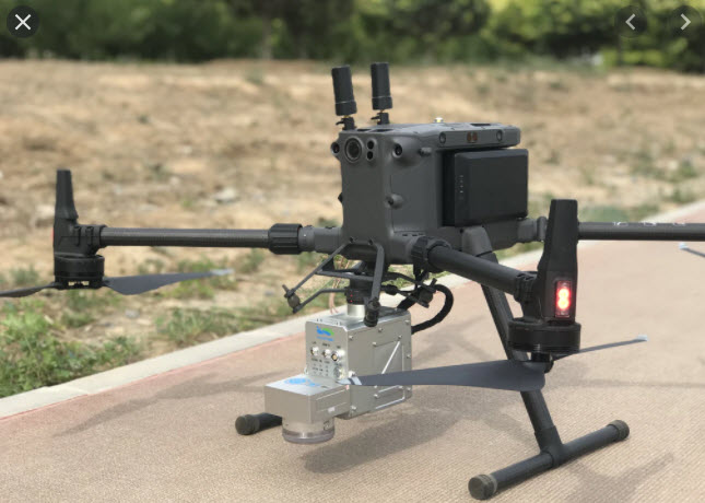
UAV Lidar
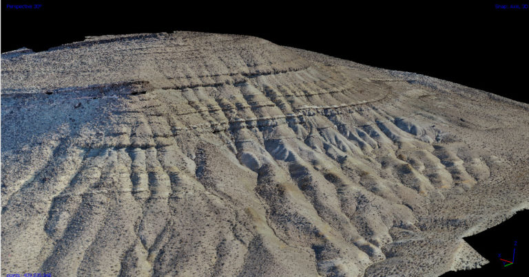
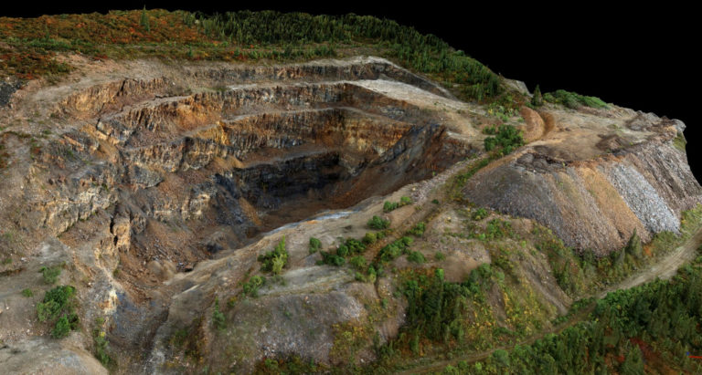
LiDAR technologies are playing an increasingly pivotal role in our lives from self-driving vehicles to mapping Mayan civilizations.
Miniaturization of this technology to permit UAV mapping is revolutionizing our access to powerful 3D big LiDAR datasets.
This summer we welcome a new drone system, the integrated LiAir V70 lidar and Matrice 300 UAV platform.
Contact us today to learn more about our lidar UAV solution
UAV Videography
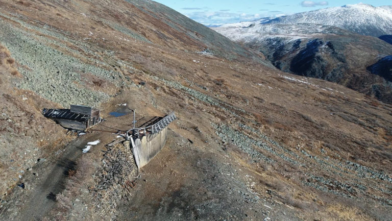
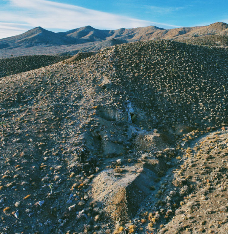
We provide a range of videography services tailored to meet your project needs whether it be for real estate purposes, documenting construction, archeological or heritage sites or promotional video for mineral exploration projects.
Talk to us for a quote today.
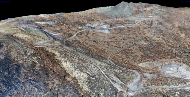
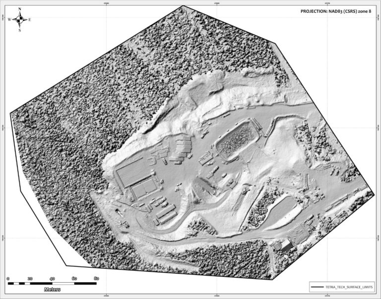
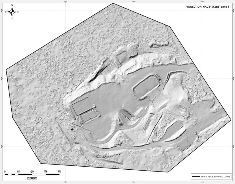
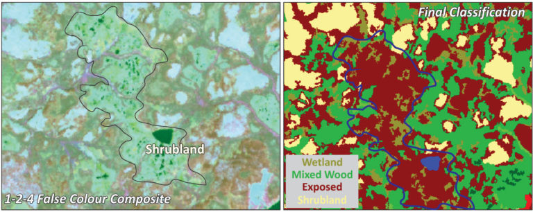
Image Processing & Analysis
Interested in adding value to your imagery datasets?
We offer a range of image processing, image classification and analysis services for a variety of sensor types including multi- and hyperspectral imagery, lidar and orthophotography data